Organizing a Dispersed Community
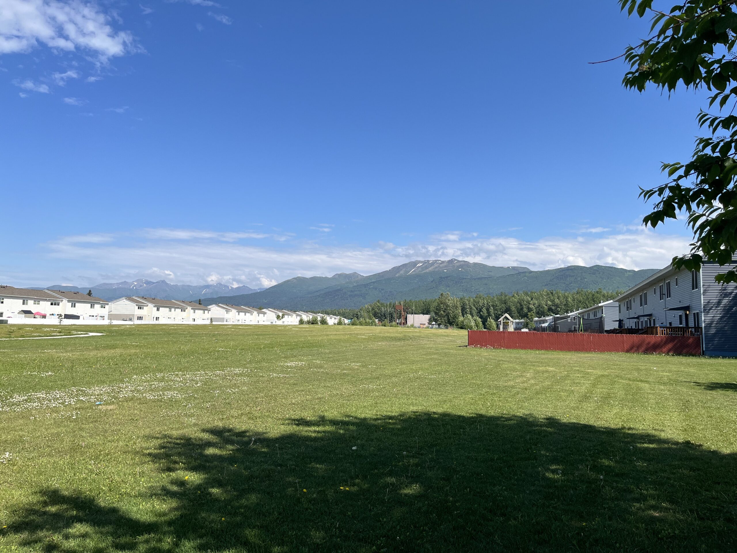
Aurora Military Housing encompasses multiple residential neighborhoods distributed throughout Joint Base Elmendorf-Richardson in Anchorage, Alaska. While residents access housing through a network of base gates and roadways, the scale of the community and the separation between neighborhoods can make navigation challenging for both new residents and visitors. The project focused on creating a clear wayfinding framework that strengthened navigation while reinforcing the identity of Aurora Military Housing as a unified community.
Establishing a Primary Route
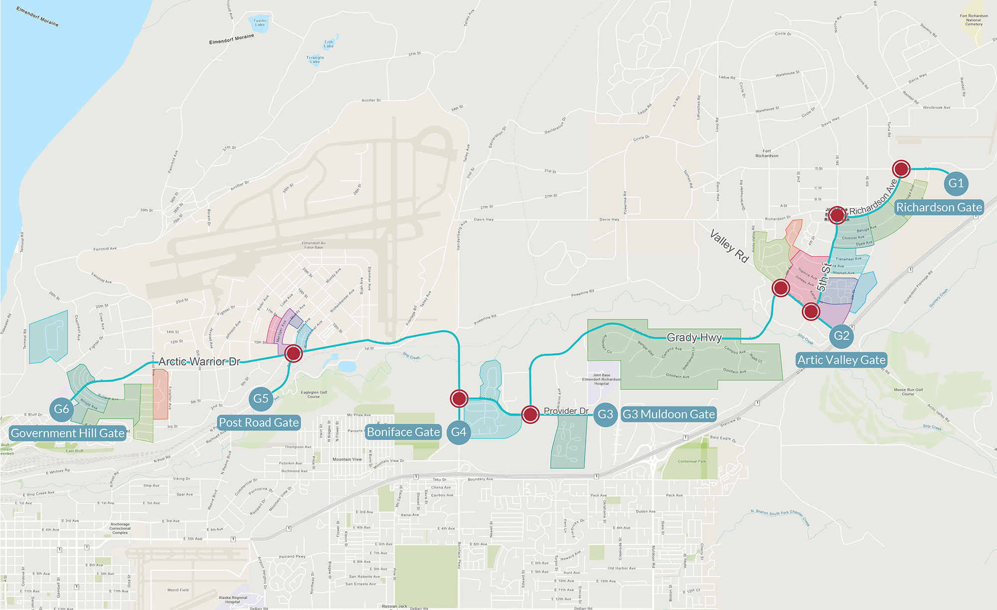
The wayfinding strategy began by identifying the primary travel route connecting the major housing areas, community facilities, and entry gates. Rather than treating each neighborhood as an isolated destination, the system organized navigation around a series of key decision points where drivers require information. By concentrating directional information at these locations, the strategy established a clear path through the community and improved connectivity between neighborhoods, facilities, and the broader base environment.
Building an Information Hierarchy
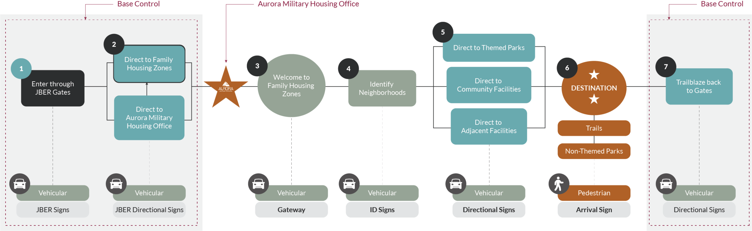
A layered information hierarchy was developed to guide residents from broad geographic references to increasingly specific destinations. Visitors are first directed toward major housing zones, then to individual neighborhoods, and finally to community destinations such as community centers, playgrounds, and recreation facilities. This approach follows the principle of progressive disclosure, reducing information overload by providing only the information needed at each stage of a journey.
Zones, Neighborhoods, and Playgrounds
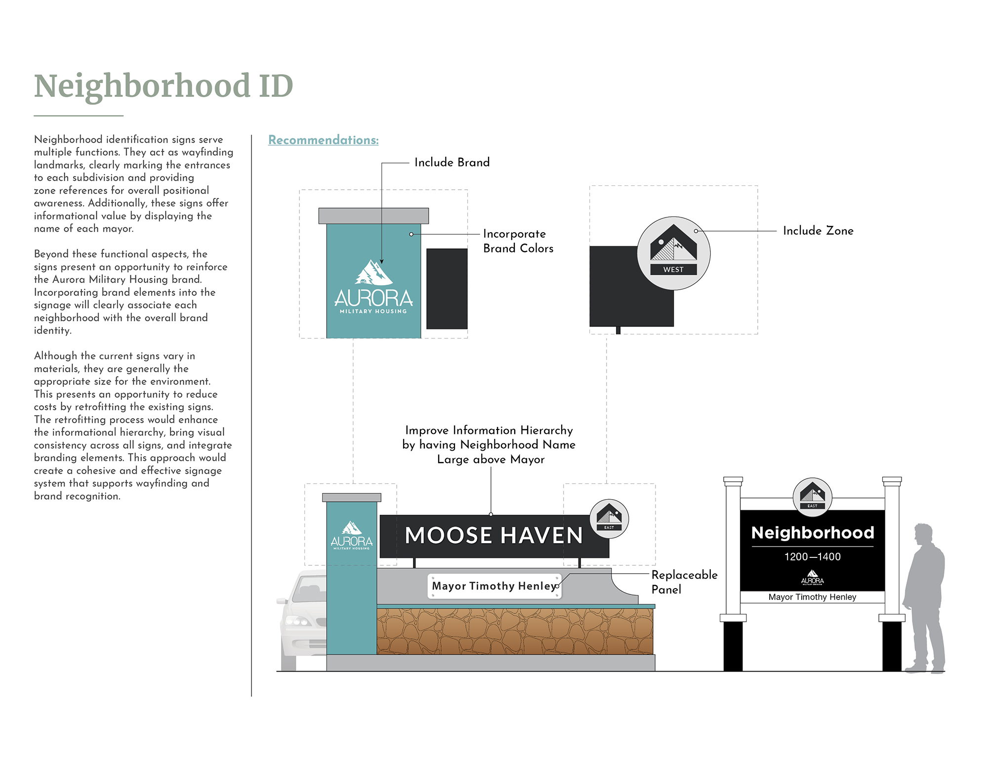
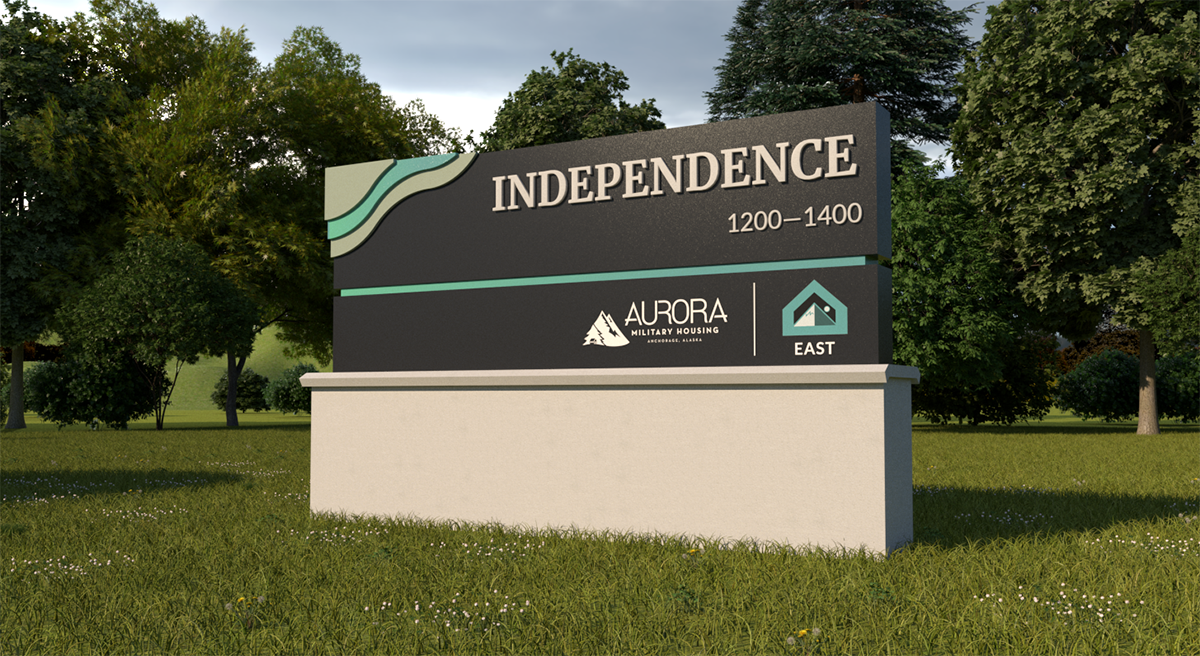
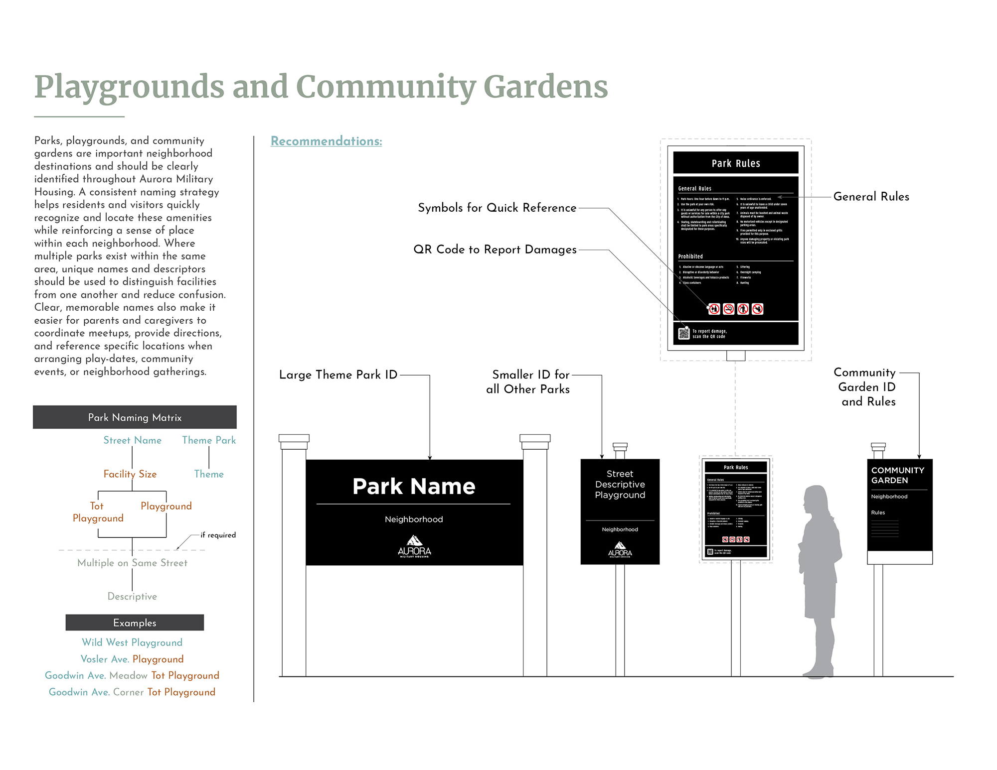
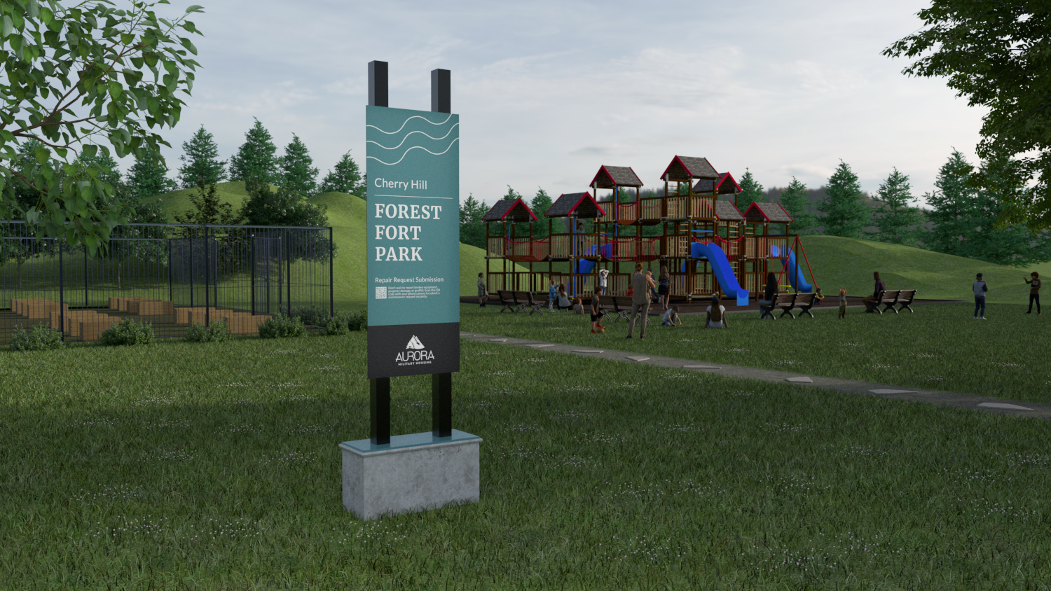
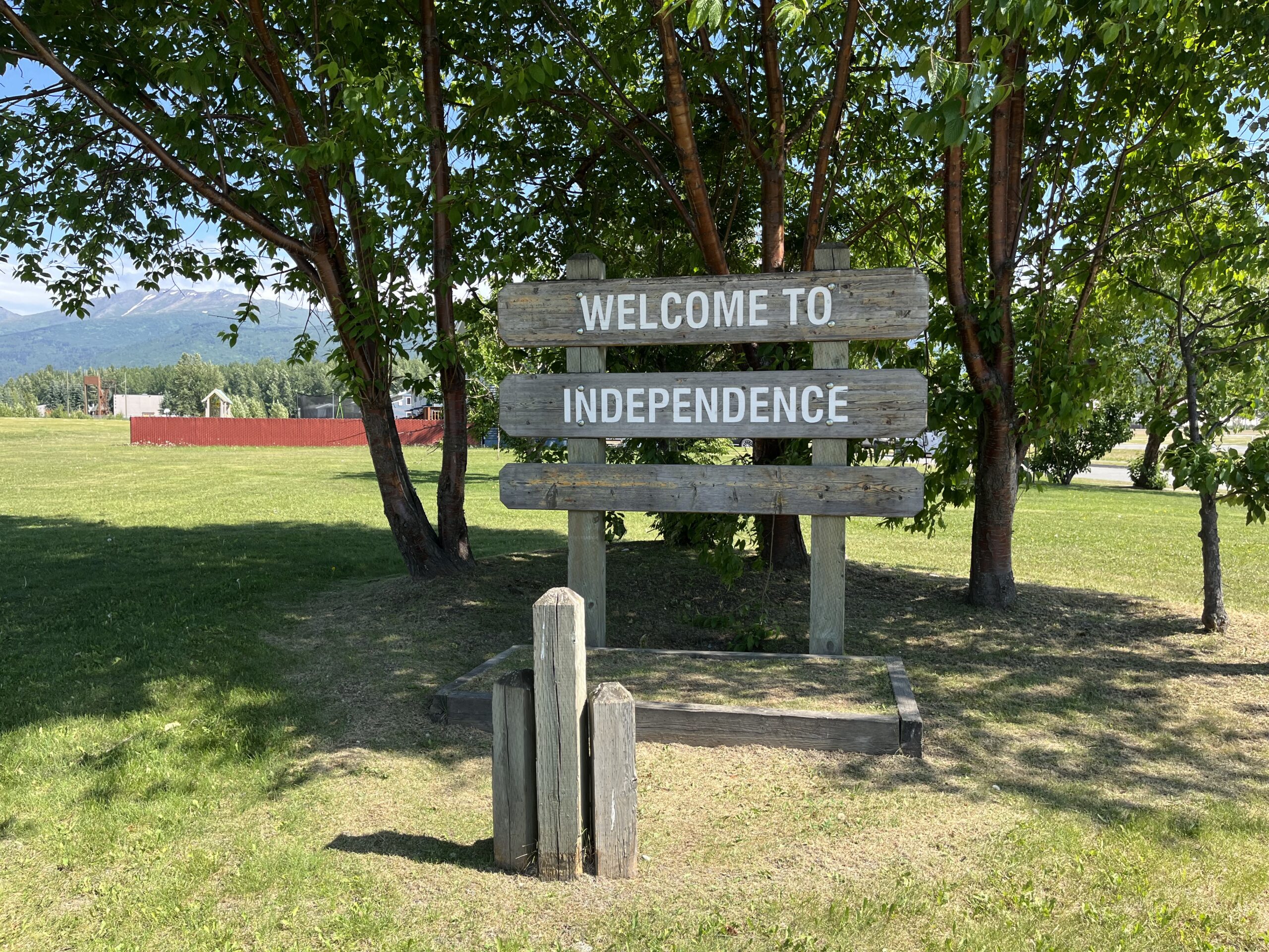
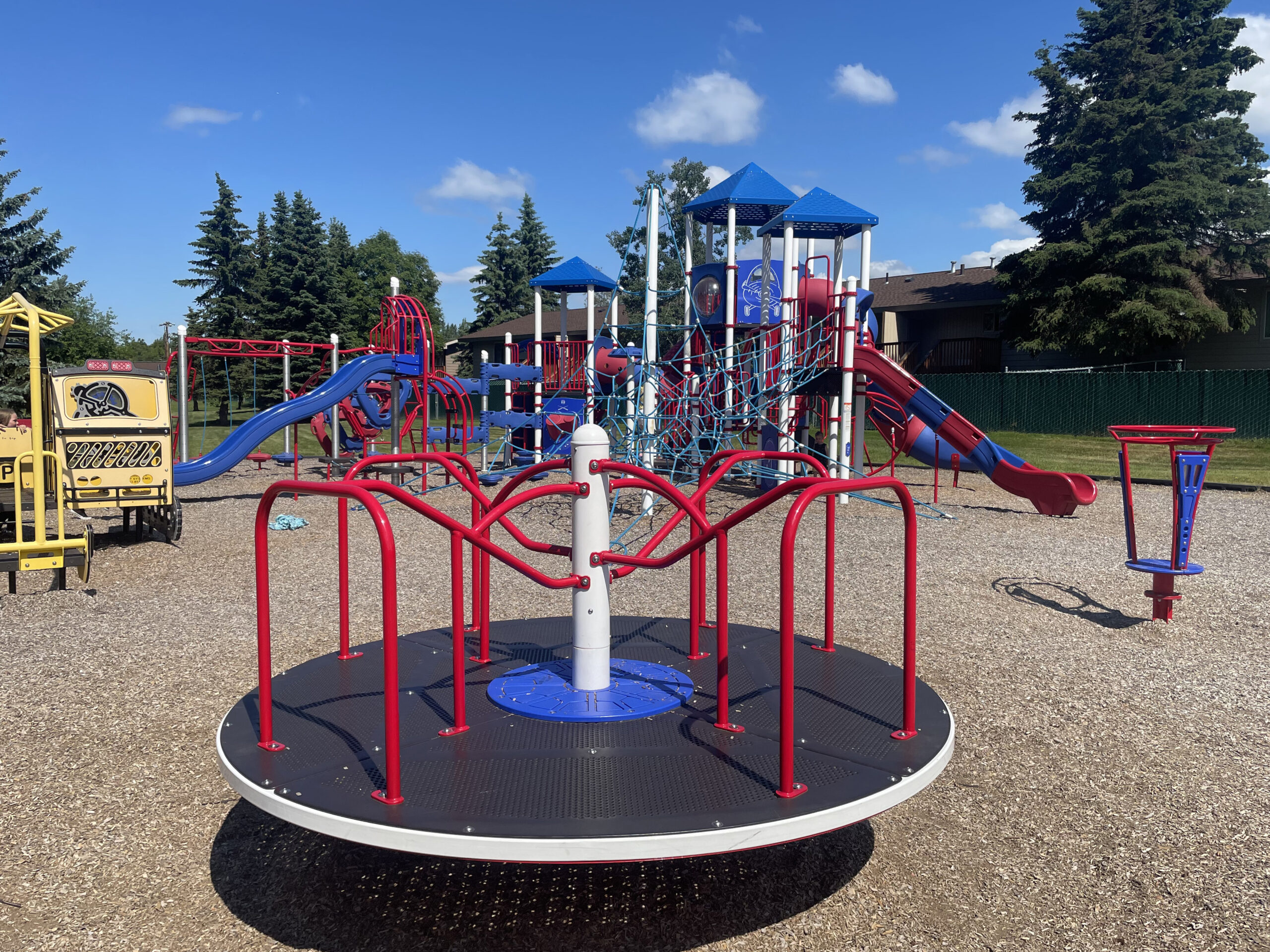
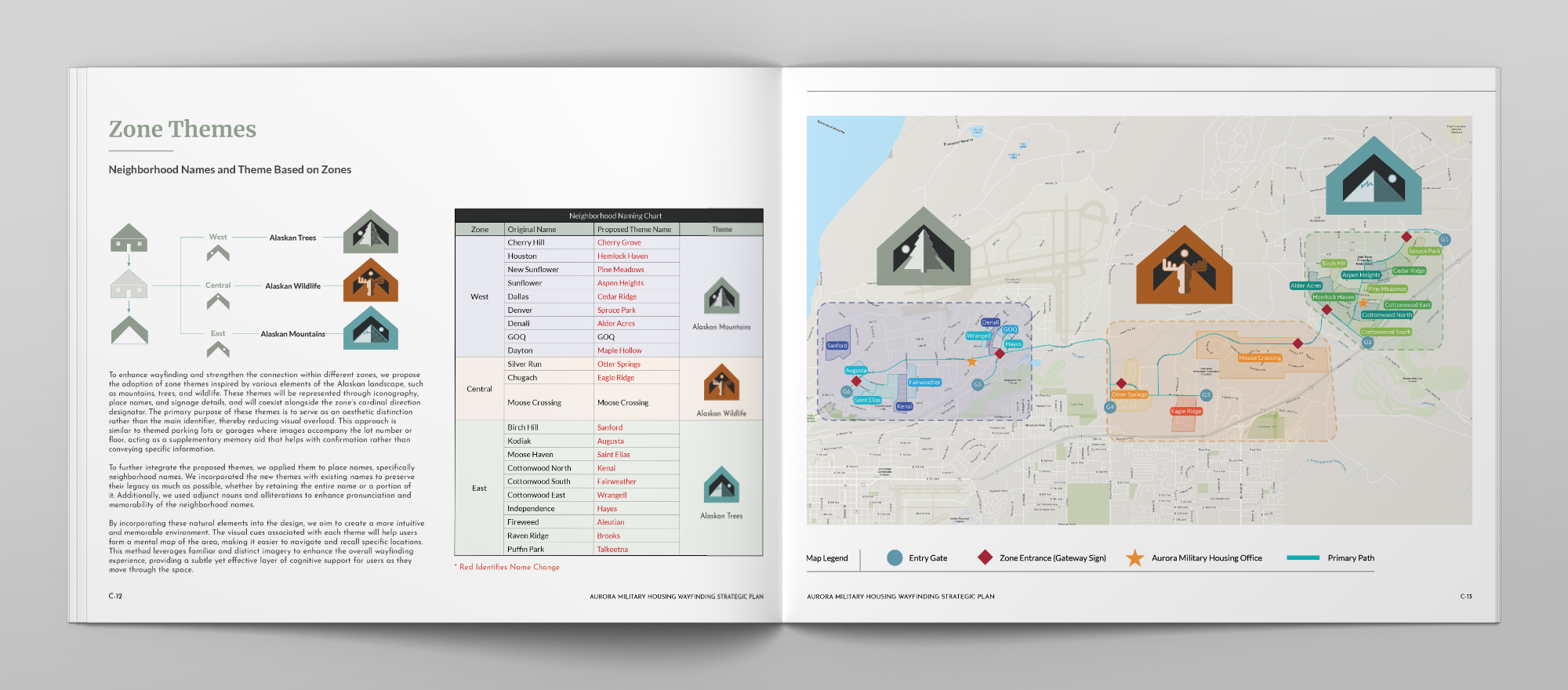
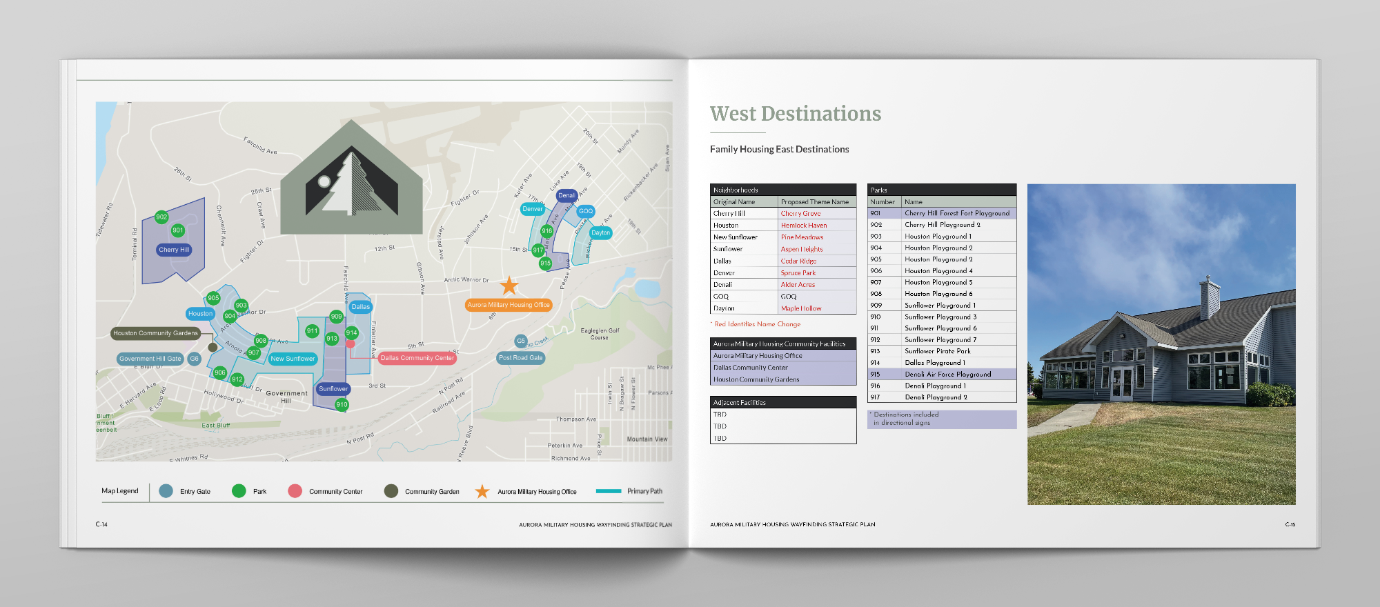
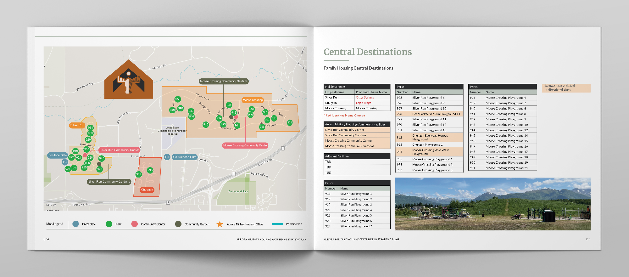
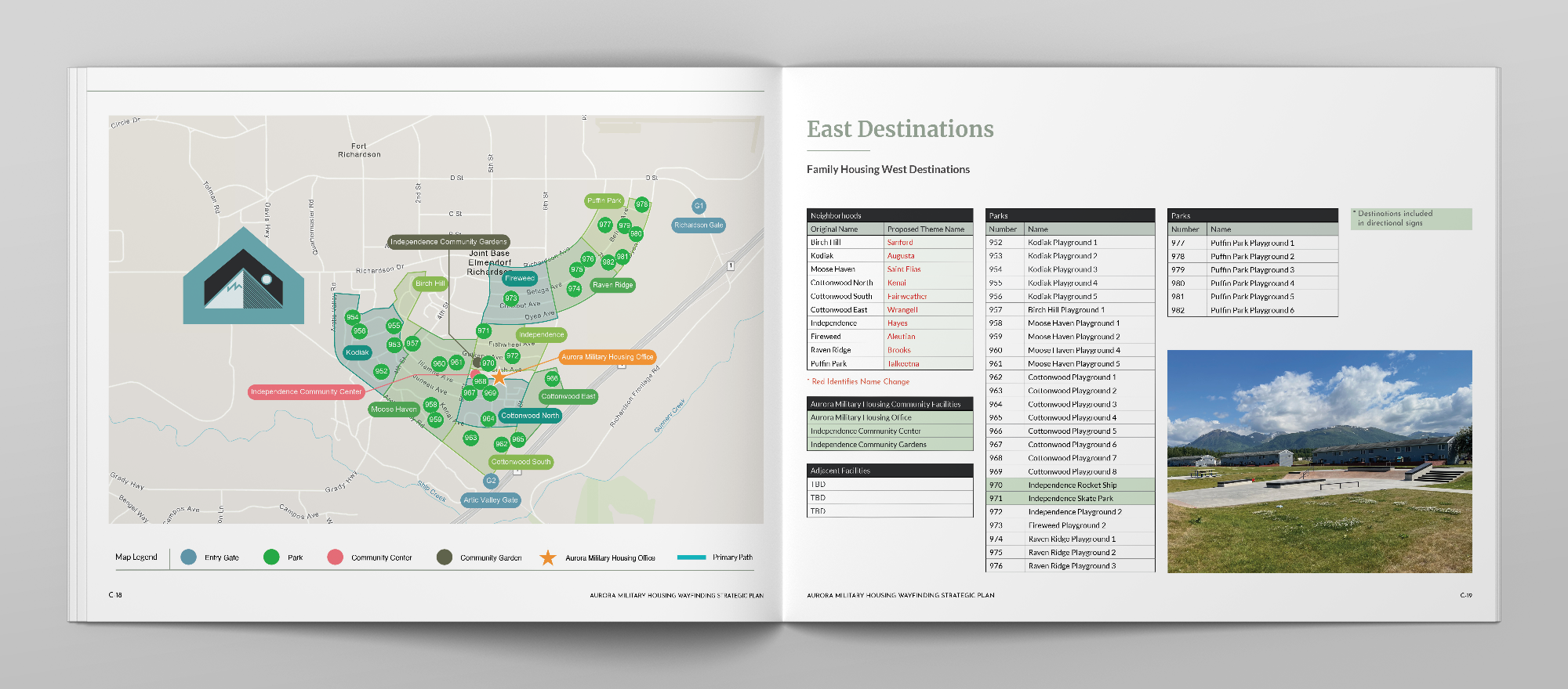
To simplify navigation, neighborhoods were grouped into East, Central, and West zones based on cardinal directions and their relationship to the primary route. These zones provide residents with an immediate understanding of their location within the larger community while supporting the development of a mental map of the housing areas. Within each zone, neighborhood identification signs were restructured to prioritize neighborhood names while maintaining references to the larger zone. Key destinations, including themed playgrounds and community facilities, were integrated into the hierarchy as secondary destinations that help residents navigate between neighborhoods and orient themselves within the community.
Reinforcing Community Identity
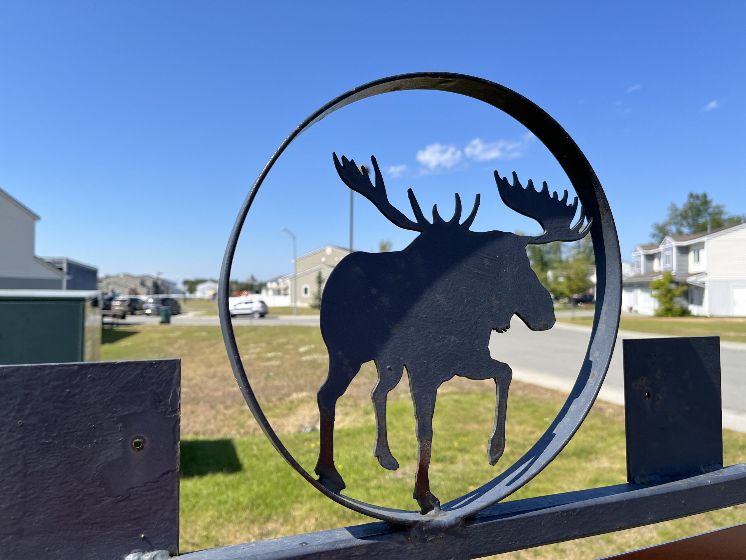
Beyond navigation, the wayfinding system was designed to reinforce the identity of Aurora Military Housing. Neighborhood identification, zone gateways, destination naming, and environmental graphics drew inspiration from Alaska’s landscapes, wildlife, and natural features. These elements provided memorable visual cues that support orientation while strengthening the connection between individual neighborhoods and the larger community. The result is a wayfinding framework that improves navigation, supports cognitive mapping, and creates a stronger sense of place for residents and visitors alike.